The Problem
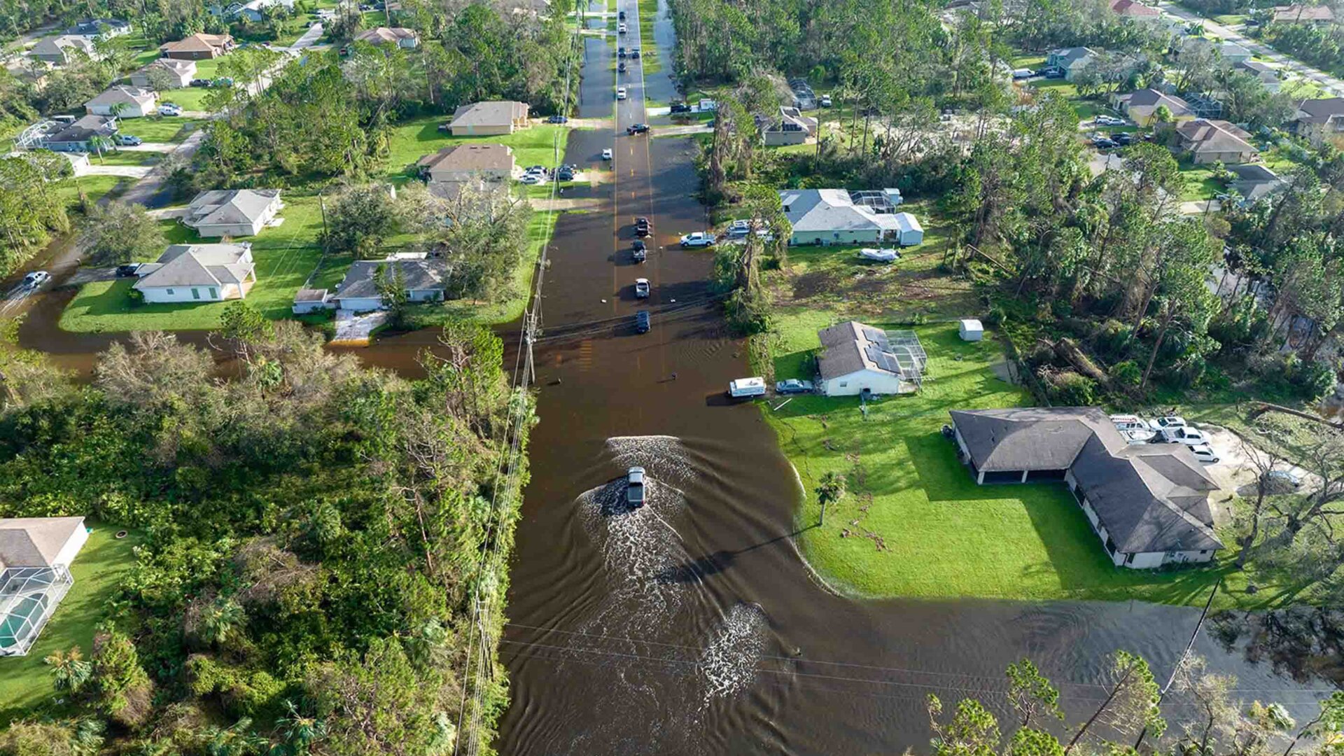
Northeastern US floods have been intensified by climate change, and Millburn, NJ, has been hard hit by both riverine and pluvial (surface) floods. Heavy rain often floods streets and basements in neighborhoods such as Wyoming. Current maps and warnings are built for rivers, which does not help residents on streets. Additionally, across the Northeast, floods are 30% more common in the highest bracket of socioeconomic vulnerability versus the lowest bracket, demonstrating how cost-efficient and openly accessible tools can help inform equitable government investment across towns.
Our Plan
FloodSense consists of two parts to help Millburn residents prepare for floods, built on my previous flood prediction research, which has been recognized as an accepted spotlight at the NeurIPS 2026 Tackling Climate Change with Machine Learning Workshop, the Stockholm Regional Junior Water Prize, the NJ Water Environment Award, and the IEEE Young Engineer Award. The technical aspect uses my own computer flood models to highlight the highest-risk areas where water pools during storms and optimizes the type of infrastructure that can be placed there to mitigate floods. These will inform the location of low-cost surface water sensors with live readings on a public map. Then, every new storm checks and fine-tunes the model further. Second, Water Lines brings flooding into the community through youth poetry workshops and art contests, along with a flood-preparedness guide for families. We work with the town's Environmental Commission and Flood Mitigation Advisory Committee, among nonprofit organizations such as Raritan Headwaters, the Rahway River Watershed Association, and Millburn for Climate Action to improve residents' knowledge and encourage action through community impact.